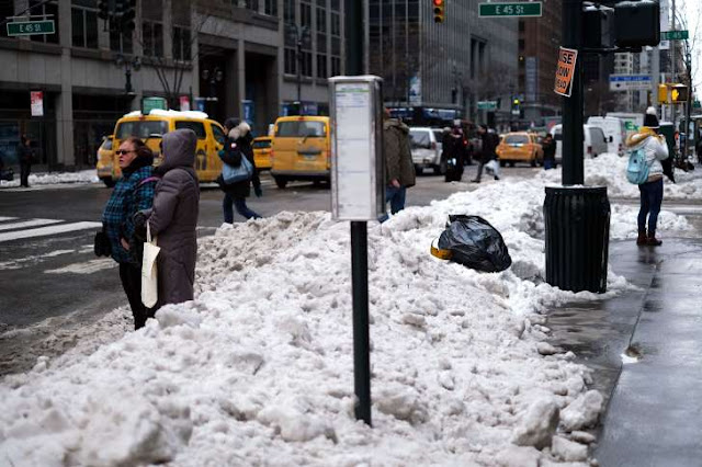
Snow to threaten slippery travel in northeastern US this weekend - The final weekend before spring will end on a wintry note in the northeastern United States with snow and slick travel in store for the region. REPORTED BY
A repeat of the Blizzard of 2017 will not occur. However, enough snow can fall to slow travel, disrupt outdoor plans and hinder blizzard recovery efforts this weekend.
 |
| Snow to threaten slippery travel in northeastern US this weekend |
The zone of wintry weather will first affect a corridor from Green Bay, Wisconsin, to Detroit and Columbus, Ohio, on Friday. Areas to the north and east of Chicago will be at most risk for snow and slippery travel.
Snow, sleet and rain will then extend eastward from the Great Lakes to the upper part of the mid-Atlantic and the southern New England coast spanning Friday night to Sunday morning.
“This storm will bring a quick accumulation of snow to parts of the mid-Atlantic and New England,” AccuWeather Meteorologist Kyle Brown said.
Several inches of snow can accumulate across Pennsylvania, New York, Connecticut, Rhode Island and Massachusetts from Friday night to Sunday morning.
Enough of a wintry mix can fall in Pittsburgh and Philadelphia to quickly coat elevated surfaces and lead to isolated slick spots.
“While this feature will be not nearly as intense as the snowstorm earlier this week, snow on pavement will certainly lead to some travel delays,” Brown said.
The greatest risk for slick travel will be after the sun goes down. Still, roadways can become slippery and snow-covered where the snow falls heavily enough during the day to overcome natural melting.
There is the threat for greater snowfall amounts near the upper mid-Atlantic and southern New England coasts as the system intensifies later Saturday, according to Brown.
Should this occur, a steady snow can fall across New York City and Long Island; Hartford, Connecticut; Providence, Rhode Island; Cape Cod and perhaps Boston during Saturday and Saturday night.
Precipitation will begin as rain and mix with or change over to all snow in some areas.
Temperatures will moderate enough in Baltimore and Washington, D.C., for precipitation to fall mainly in the form of spotty showers on Saturday. The best opportunity for a period of wintry weather in this corridor will be on Saturday night as cold air is pulled southward in the storm’s wake.
The wet weather could put a damper on those heading to Washington, D.C., for a first glimpse of the National Cherry Blossom Festival on Saturday.
The opening date of the renowned festival was pushed back from Wednesday, March 15, “due to setup delays caused by the storm,” organizers announced on Twitter.
Brutal cold will not follow in the wake of the storm. Temperatures will climb into the 40s and even the 50s F across the region early next week.
Another shot of cold air will graze the region beyond the first day of spring.
0 comments:
Post a Comment